
Description
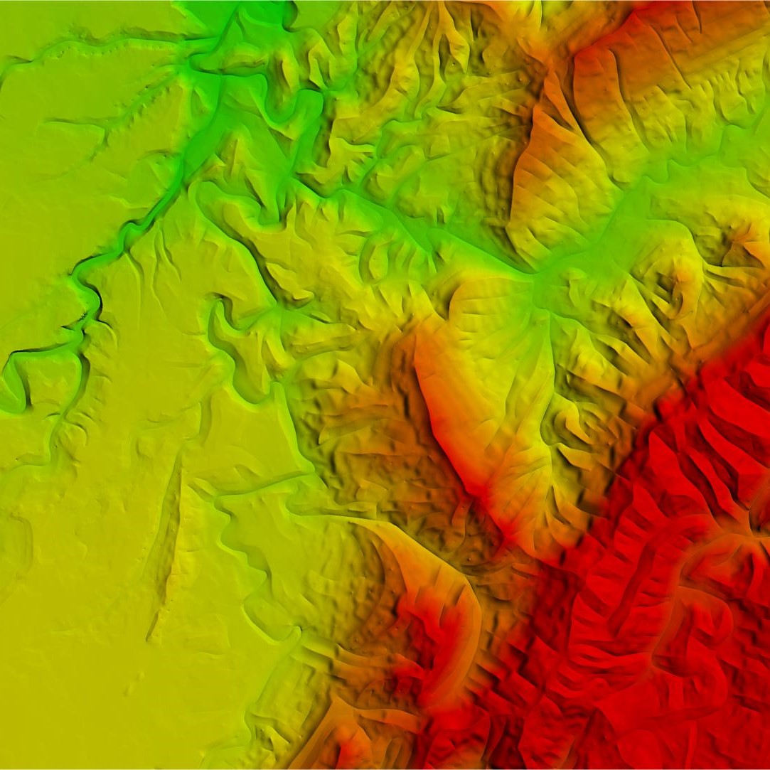
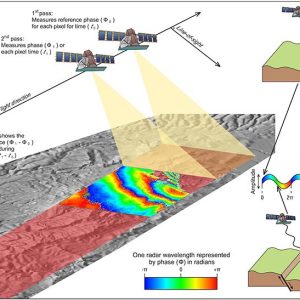
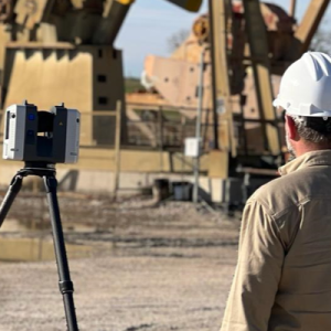
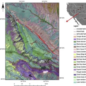
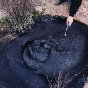
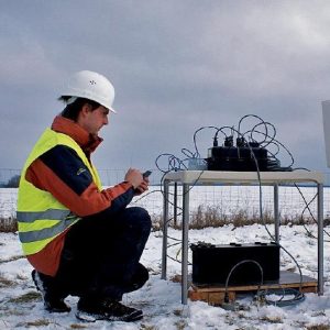
Satellite and aerial remote sensing involve capturing high-resolution images using multispectral, hyperspectral, and radar sensors mounted on satellites, drones, or aircraft. These sensors detect surface features such as faults, fractures, and oil seeps that indicate underlying petroleum systems. Thermal infrared imaging helps identify hydrocarbon microseepages, while synthetic aperture radar (SAR) is used for structural mapping and offshore oil spill detection. Remote sensing is particularly valuable in inaccessible areas such as dense forests, deserts, and offshore regions. It aids in reducing exploration costs by providing preliminary geological insights before seismic surveys and drilling. Modern advancements include AI-powered image analysis, machine learning algorithms, and real-time satellite monitoring, enhancing the accuracy of hydrocarbon exploration and environmental risk assessment.

Precious –
“I was impressed with the depth of knowledge and practical guidance provided in the ‘Satellite and Aerial Remote Sensing’ guide. The use of satellite and aerial imagery to detect surface anomalies for hydrocarbon exploration was clearly explained, along with the benefits and limitations of each method. The guide helped me to understand the importance of selecting the right sensors and image analysis techniques for specific exploration objectives. It’s a valuable resource for geologists and explorationists seeking to integrate remote sensing into their workflows.”
Chukwudi –
“As a seasoned oil and gas exploration geologist, I have found ‘Satellite and Aerial Remote Sensing’ an invaluable resource. Its clear and concise explanations of remote sensing techniques have significantly enhanced my ability to interpret geological structures and surface anomalies. The guide’s comprehensive coverage of optical, infrared, and radar imaging has helped me identify potential hydrocarbon prospects in unexplored areas, streamlining our exploration efforts and maximizing our chances of success.”
Endurance –
“Satellite and Aerial Remote Sensing has proven invaluable in our hydrocarbon exploration efforts. Its satellite and aerial remote sensing techniques have provided accurate and timely data, enabling us to pinpoint potential drilling sites and mitigate environmental risks. The user-friendly interface and comprehensive guidance make it accessible to both seasoned explorationists and newcomers to the industry. Thanks to this valuable resource, we have significantly enhanced our exploration efficiency and reduced our time to market.”