
Description
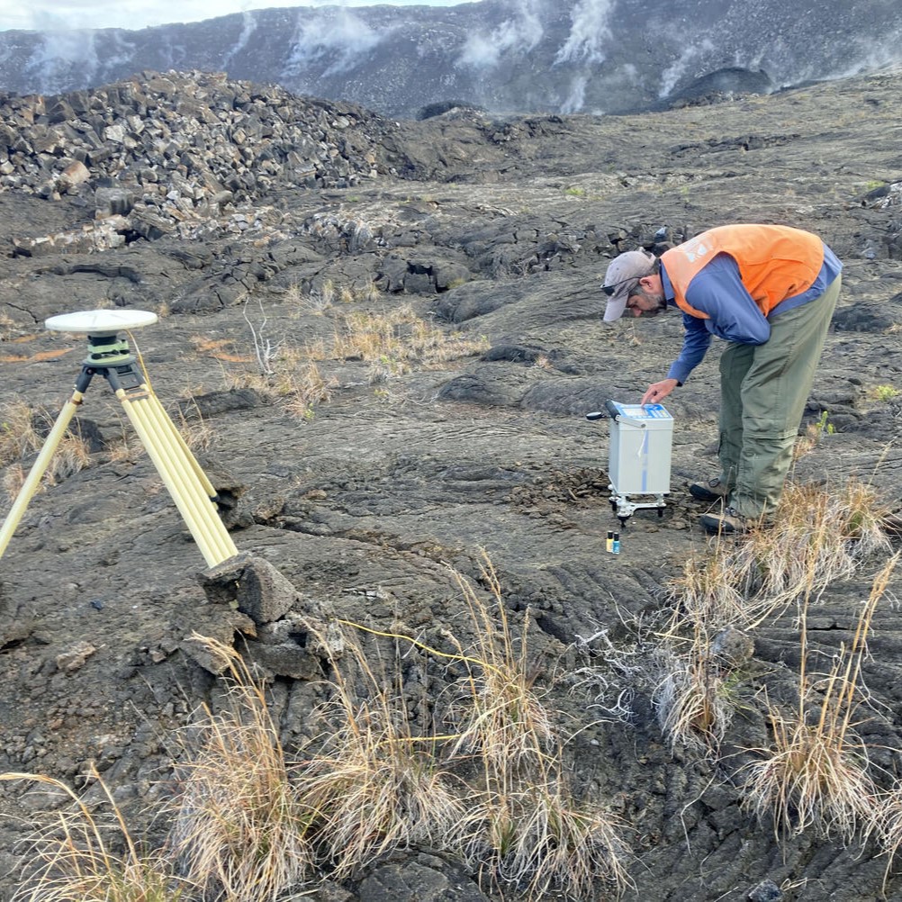
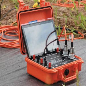
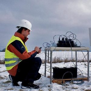
Gravity surveys use gravimeters to measure tiny variations in the Earth’s gravitational field, which indicate changes in subsurface density. These variations help locate sedimentary basins, salt domes, and fault zones, which are potential hydrocarbon traps. Magnetic surveys use magnetometers to record changes in Earth’s magnetic field due to variations in rock magnetism. Magnetic mapping is especially useful for identifying basement rock structures and igneous intrusions that can influence oil and gas accumulation. Data from these surveys are integrated with seismic and geological studies to refine exploration models. Modern advancements include high-resolution airborne gravity gradiometry and satellite-based gravity mapping.


Austine –
“Gravity and Magnetic Surveys from Oil And Gas Exploration Guides have proven invaluable in our exploration efforts. The detailed and accurate data have significantly enhanced our understanding of the subsurface, allowing us to target areas with increased potential for hydrocarbon accumulation. This guide has been crucial in guiding our exploration strategy and maximizing our chances of success in an increasingly competitive industry. Its clear explanations and comprehensive coverage of gravity and magnetic surveys have made it an essential resource for our team.”
Bose –
“These detailed Gravity and Magnetic Surveys guides have been incredibly valuable for my exploration projects. The comprehensive information on detecting subsurface density and magnetic variations has enabled me to accurately identify basin structures and potential hydrocarbon traps. The integration of gravity and magnetic data has enhanced my understanding of geological features, providing critical insights for targeted exploration. The guides have empowered me with the knowledge and techniques to optimize my exploration efforts and increase the chances of successful discoveries.”
Eric –
““Gravity and Magnetic Surveys” provided invaluable knowledge in understanding the principles and applications of these techniques. The comprehensive content covered both gravity and magnetic surveys, explaining their importance in identifying subsurface features. The clear and concise writing style made the guide easy to navigate, providing valuable insights for my exploration projects.”